
Digital West Media Inc.
Drone Mapping & Aerial Imaging — Done Right
Clear, usable aerial maps, photography, video, and progress documentation for properties, projects, and land management.
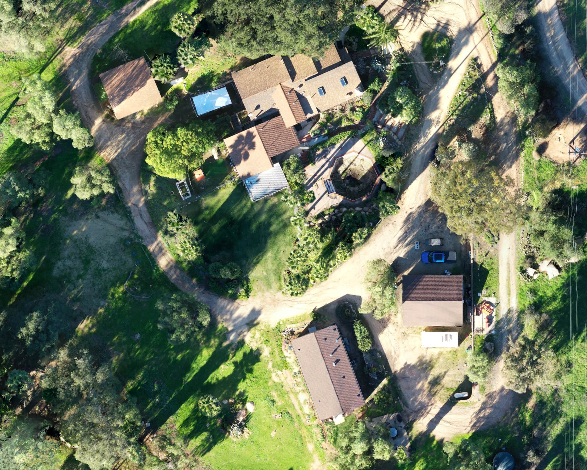
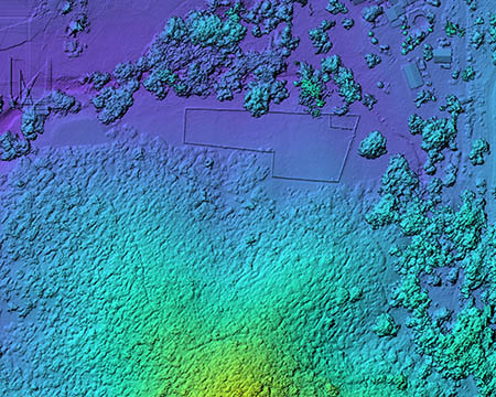
Orthomosaic maps, property overviews, terrain visualization, and aerial media.
Mapping & Media Examples
From detailed orthomosaics to large property overviews and before-and-after documentation, we create visuals that help clients understand their site clearly.
What We Do
Aerial Photo & Video
Clean aerial imagery for documentation, marketing, planning, and storytelling.
View Services →Progress Documentation
Repeat aerial captures that visually document changes over time.
See Examples →Family-Owned. Detail-Driven.
We take the time to understand your project, plan the flight properly, and deliver results you can actually use. If conditions change or a project needs extra attention, we do what needs to be done.
Real-World Change, Clearly Documented
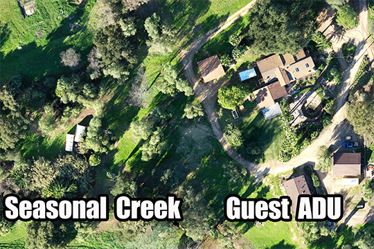
Progress documentation can show seasonal changes, construction progress, land conditions, water accumulation, vegetation changes, and site activity over time.
View Examples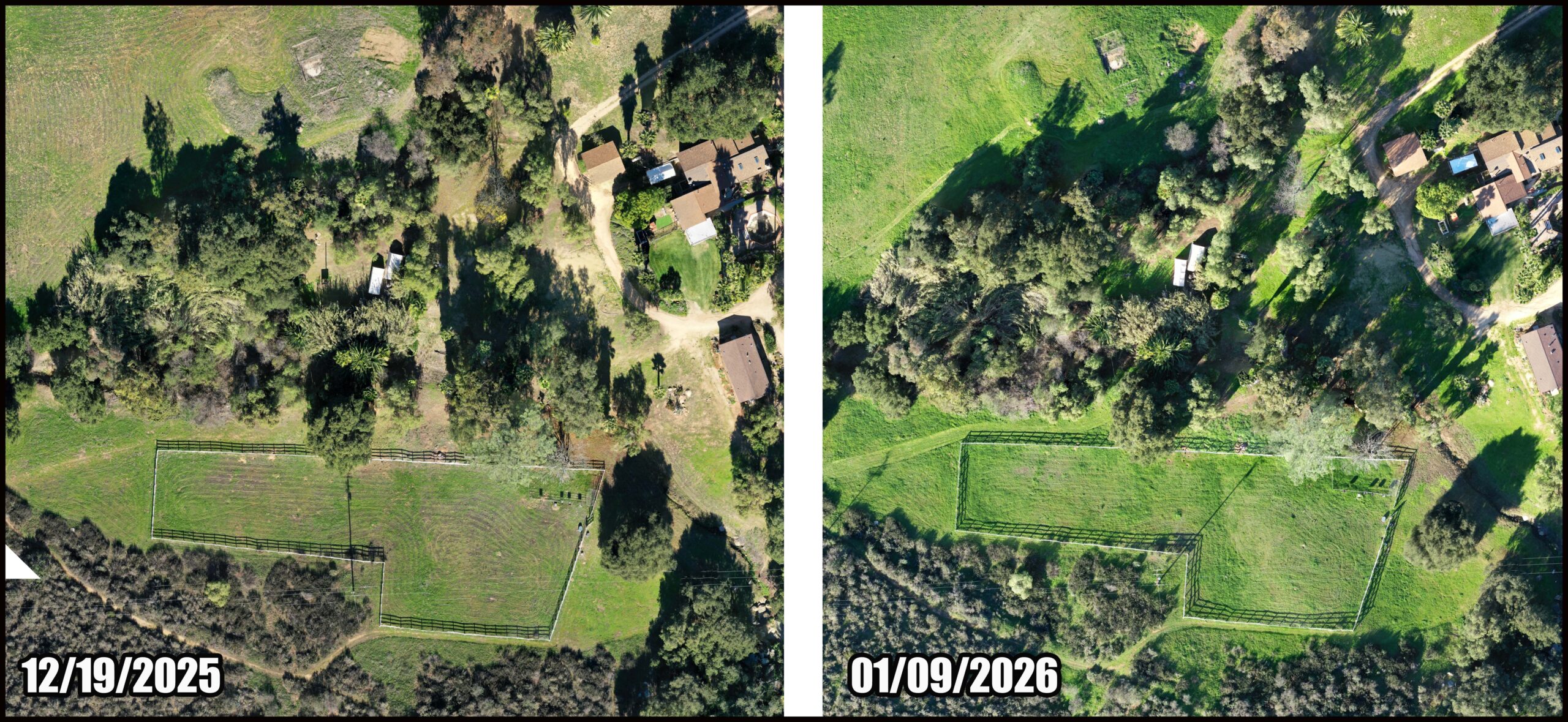
Common Questions
What affects cost?
Site size, terrain, access, deliverables, and processing complexity.
How fast is delivery?
Many projects can be delivered within a few days, depending on scope.
What do you need?
A location, basic goals, timeline, and any access details.
Have a property or project in mind?
Tell us what you’re trying to accomplish. We’ll help you choose the right mapping, photo, or video approach.
Request a Quote